8 AM Update
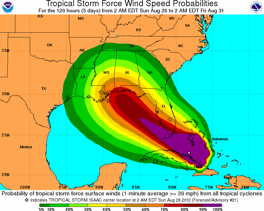
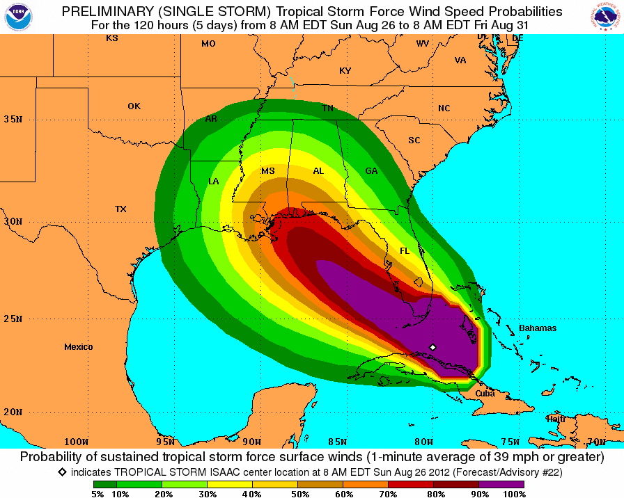
Tropical Storm Isaac is moving north of Cuba on a west-northwest track around 20 mph. Maximum sustained winds near 65 mph and is expected to straighten into a hurricane by the time he arrives in the Florida Keys later today. Tropical storm force winds are extending outward up to 205 miles. Just to give some perspective on the overall size of Isaac; in Tampa (350 miles from the center) the winds are beginning to pick up with visible low level cloud movement.

Tropical Storm warnings are still in effect for the Bahamas.

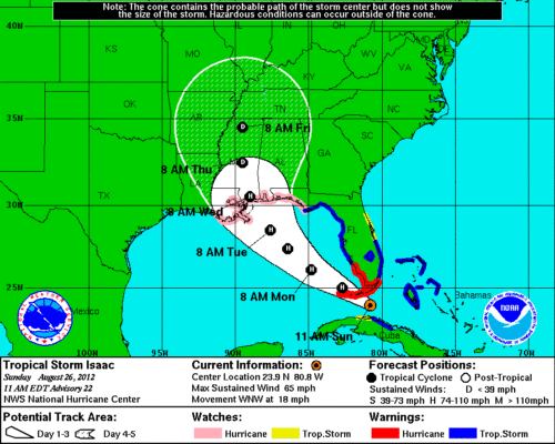
11 AM Update
Tropical Storm Isaac is beginning to lash South Florida and the Keys. The center is located 80 miles southeast of Key West moving on a west-northwest track around 18 mph. Maximum sustained winds near 65 mph and is expected to straighten into a hurricane by the time he arrives in the Florida Keys later today. Tropical storm force winds are extending outward up to 205 miles. The latest update looks much better for the Bahamas as the track again shifted to the west, reducing the probability of tropical storm force winds in the Bahamas.
5 PM Update
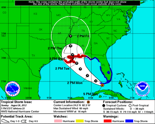
The good news this hour is that the Government of the Bahamas has discontinued the tropical storm warning for the northwestern Bahamas.
The forecast track for Isaac continues to move to the west, but is not expected to strengthen into a hurricane until late Monday, early Tuesday. Isaac is just passing to the south of Key West at 16 mph with maximum sustained winds near 60 mph, with a gust reported at 66 mph. Tropical storm force winds extend outward to 205 miles.


